
Free delivery on purchases of €70 or more to relay points in Europe
Enjoy -10% on the Backpacking Food Category with the code: TREKKING10


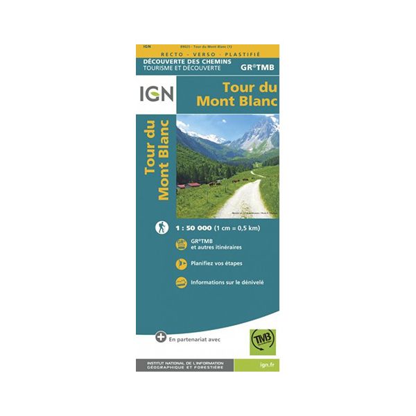
The GR Tour du Mont-Blanc laminated map is designed by IGN. It is moisture-resistant and tear-proof. It will accompany you on your expedition, whatever the weather.
Mont-Blanc is the biggest mountain pass in France, and even in Western Europe. A place of fascination for many a thrill-seeking adventurer, it is home to numerous hikes to be enjoyed in summer and winter alike. The IGN (Institut national de l'information géographique et forestière) has designed a laminated map showing the route to follow for the GR Tour du Mont Blanc.
The GR TMB is one of Europe's most popular long-distance hiking trails. Around 170 km long, it crosses 3 countries: France, Italy and Switzerland. IGN laminated maps are moisture-resistant and tear-proof. Don't worry about opening them in rain or snow.
What's more, they're double-sided for improved legibility (1 cm = 0.5 km). You'll have the choice of following the classic itinerary highlighted on the IGN map, or following your own paths. Icons on the map indicate places to eat, do business or sleep. Even without a network, you'll be able to find your way back.
Last but not least, the itinerary with elevation is shown at the top of the map, to help you find your way around. All you need to set off on your expedition with peace of mind.
The GR Tour du Mont-Blanc IGN laminated map features :
- 1/50,000 scale (1 cm = 0.5 km)
- Tear-proof and moisture-resistant
- An original gift idea for trekking enthusiasts
 Theo L.

I already have the topo guide but I wanted the map as well. It'll be for next year, but it's a good map. (Translated review)
 Nicolas M.

Product conforms and delivered on time (Translated review)


check_circle


