MSR FreeLite 3 backpacking tent - 2 people

Free delivery on purchases of €70 or more to relay points in Europe
Enjoy -10% on the Backpacking Food Category with the code: TREKKING10


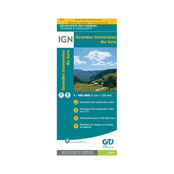
Often abbreviated to GTJ, the Grandes Traversées du Jura can be done on foot or by bike with this tearproof map designed by IGN. It's an extraordinary adventure that takes you to some magnificent places and landscapes.
IGN is the French national institute for geographic and forestry information. Founded in 1940, it regularly publishes hiking maps. This is particularly the case with this map of the Grandes Traversées du Jura. It features a GTJ itinerary that can be followed on foot or by bike.
IGN laminated maps are renowned for :
- they are tear-proof and moisture-resistant: you can consult them even when it's raining
- be useful in places where there's no network, so you don't get lost
- offer written descriptions of tourist attractions
- use small icons to indicate where to eat, sleep and do other activities
- offer variations on classic itineraries
In short, the IGN Grandes Traversées du Jura laminated map is ideal for anyone wishing to discover this region to the full without missing a beat.
The Grandes Traversées du Jura laminated map features :
- 1/105,000 scale (1 cm = 1 km)
- Routes for pedestrians and/or two-wheelers
- Moisture-resistant, double-sided map


check_circle

