
Free delivery on purchases of €70 or more to relay points in Europe
Enjoy -10% on the Backpacking Food Category with the code: TREKKING10


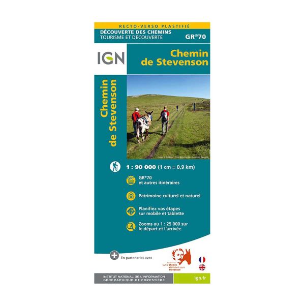
Set off on the adventure of the GR 70 and the famous Stevenson trail with this laminated map published by IGN. Follow the official paths or create your own route with this tear-proof, moisture-resistant map.
The IGN (Institut National de l'Information Géographique et Forestière) has designed laminated maps that resist humidity. This map shows the Stevenson trail, the n°70 long-distance hiking trail.
As well as outlining the routes, the map provides tourist information (monuments, restaurants, museums, inns, etc.).
A complete map that will bring out your adventurous side.
The Chemin de Stevenson is one of the most popular GR trails every year. It starts in Le Puy-en-Velay and ends in Alès, for a total of 267.9 km or 272.9 km depending on the variant.
IGN's laminated map of the Chemin de Stevenson (GR 70) is :
- A rainproof map that won't tear
- A written description of the places to visit
- A double-sided map for easy reading
 Camille R.

fine (Translated review)


check_circle


