
Free delivery on purchases of €70 or more to relay points in Europe
Enjoy -10% on the Backpacking Food Category with the code: TREKKING10


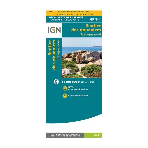
The GR34 - also known as the Sentier des Douaniers - is a 2,000 km long hike along the coast of Brittany, from Mont-Saint-Michel to Saint-Nazaire. Would you like to discover it with your own eyes? Equip yourself with this map showing all the routes, and off you go!
The Sentier des Douaniers is accessible in all seasons and offers magnificent landscapes that are sure to take your breath away. Bear in mind that the GR34 is a rather challenging route, and that you may even have to climb 1,000 meters in a single day.
This map is translated into English with a scale of 1/100,000 (i.e. 1 cm = 1 km) and will enable you to plan all your hikes and itineraries in advance, without fear of getting lost, even if your cell phone doesn't cooperate with you by not picking up a signal, for example.
The Sentiers des douaniers - Bretagne Nord IGN laminated map is :
- Ideal for planning your route
- Translated into French and English
- Moisture-resistant and tear-proof


check_circle

